TRANSPORTATION
IDEAL POSITION
You can get anywhere from here. J•Sol is anchored in an ideal location, just blocks from two Orange and Silver line Metro stations, minutes to I-66, George Washington Parkway, Lee Highway, and Route 50, and offering easy access to two major airports.
CAR SHARING
Try Zipcar or Free2Move anytime you need to get wheels.
Nearby Zipcar Locations:
• N Stuart & Fairfax Dr
• N Stuart St & Wilson Blvd
• Fairfax Dr & N Quincy St
RIDE SHARING
Ride sharing saves money on fuel, maintenance and insurance. Try Uber or Lyft.
 BALLSTON-MU STATION
BUS & METRO SERVICES
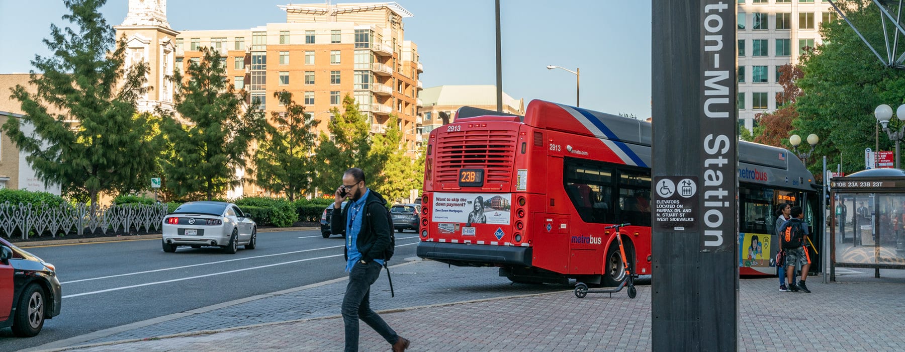
 BALLSTON-MU STATION
The 2 closest Metrorail stations are the Ballston-MU and the VirginiaSquare-GMU stations, both serving the Orange and Silver lines. Metrobus routes:
• 1A Wilson Blvd – Vienna
• 2A Washington Blvd – Dunn Loring
• 10B Hunting Point – Ballston
• 22A, C, F Barcroft – South Fairlington
• 23A, B, T McLean – Crystal City
• 25B Landmark – Ballston
• 38B Ballston – Farragut SquareART Bus Routes:
• 41 Columbia Pike – Ballston - Courthouse
• 42 Ballston - Pentagon
• 51 Ballston – Virginia Hospital Center
• 52 Ballston – Virginia Hospital Center – EastFalls Church
• 53 Ballston Metro – Old Glebe – East FallsChurch – Westover
• 62 Courthouse Metro – Lorcom Lane – BallstonMetro
• 72 Rock Spring – Ballston – Shirlington
• 75 Shirlington – Lyon Park
Visit WMATA to learn more.
GUARANTEED RIDE HOME
Guaranteed Ride Home (GRH) provides commuters who regularly (2x/week) take transit, bike, walk or pool to work with a FREE reliable ride home for emergencies or unscheduled overtime. www.arlingtontransportationpartners.com/GRH
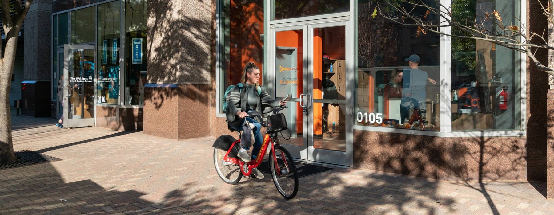
BIKESHARE
Join, take a bike, ride and return. Membership options include: 24hours, 3 days, 30 days or 1 year.
Use capitalbikeshare.com to find nearby stations:
• Central Library / Quincy St & 10th St N
• Fairfax Dr & N Randolph St
• Wilson Blvd & N Quincy St
• Ballston Metro / Stuart St & 9th St N
 BIKESHARE
URBAN VILLAGE FEATURES
Ballston visitors, residents and employees also can also take advantage of the following bike/walking trails and other transportation features:
• Custis Trail
• Bluemont Junction Trails
• Slug Line, near 1000 N Stuart St.
• Arlington Cabs
CAR-FREE DIET
Arlington's Car-Free Diet is the easy, fun way to live a car-free or car-lite lifestyle. Each time you leave your car at home – choosing instead to ride transit, bike, walk, car/vanpool or telework – you can save money, improve your health and clean our environment.
Visit Car-Free Diet to learn more.
TRANSIT APPS
Download these apps to make your commute easier:
• Arlington ART Bus Tracker
• CarFreeAtoZ:Arlington’s trip planning tool for commuters and every day transportation.
• Citymapper: Live bus, metro, and train travel times and directions
• CommuterConnections: Find a rideshare or park and ride lots near home
• DC Transit: Tracks Metrobus,DC Circulator and Metrorail in real time
• Google Maps: Check out the transit, biking, and walking tools
